BLOGS WEBSITE
TAG: aerial hyperspectral imagery
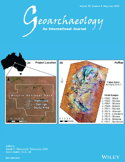
Using advanced remote sensing to map ancient Aboriginal ‘tool‐stone’ resources in central Australia
The remote sensing work of University of Adelaide PhD candidate W. Boone Law has recently been selected for the 2020 May/June cover of Geoarcheaology. Geoarchaeology is an international journal dedicated to original interdisciplinary scientific research where geographical, geological, geophysical and Earth science techniques are used to better understand the archaeological record. (Pictured right: The front cover […]
Posted in Environment Institute, Evolution and Climate, GFAR, News, paper, PhD Opportunities, Remote sensing, School of Biological Sciences, Science communication
Tagged Aboriginal, aerial hyperspectral imagery, Bertram Ostendorf, Megan Lewis, Remote sensing, students, W. Boone Law
Comments Off on Using advanced remote sensing to map ancient Aboriginal ‘tool‐stone’ resources in central Australia
Comments Off on Using advanced remote sensing to map ancient Aboriginal ‘tool‐stone’ resources in central Australia