BLOGS WEBSITE
TAG: Western Desert
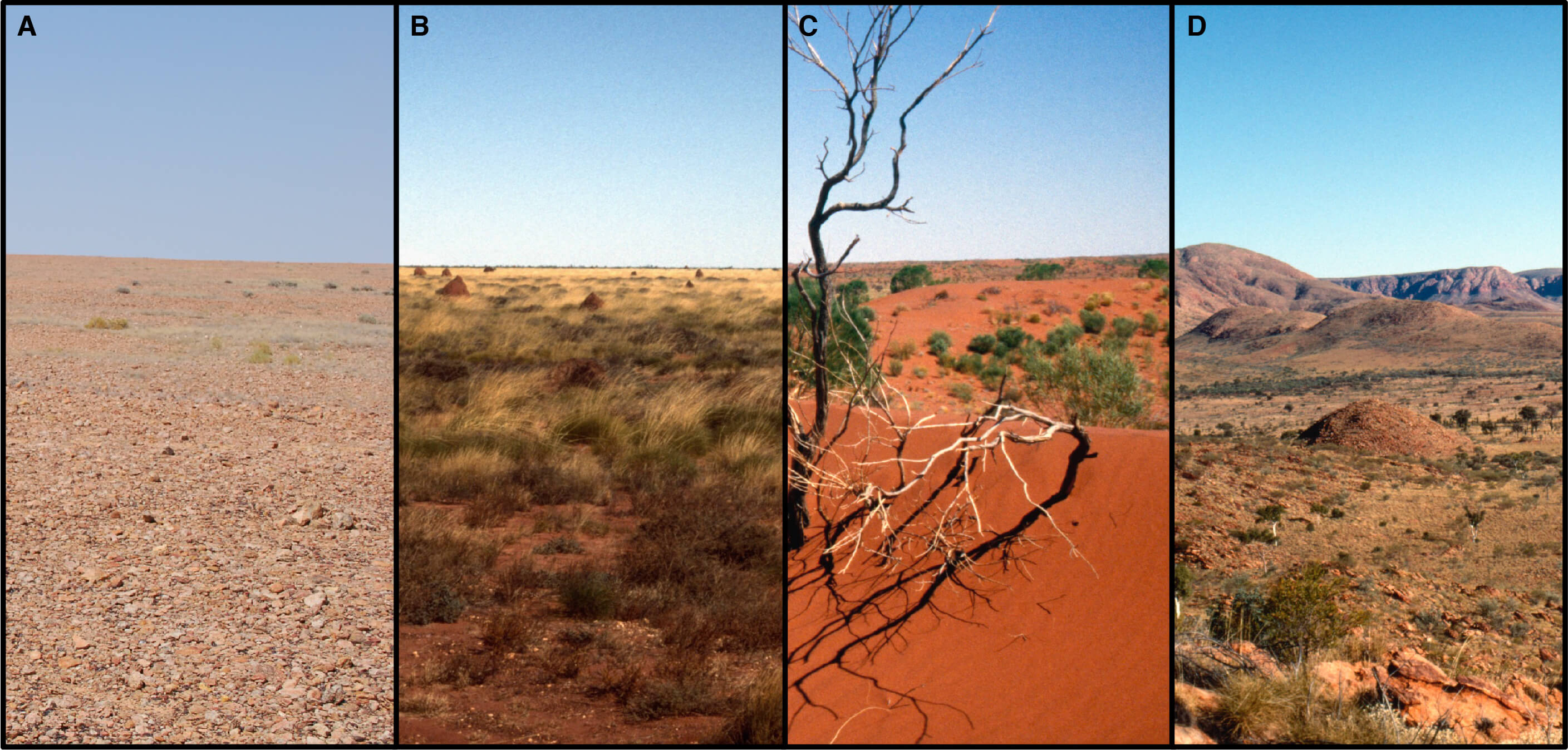
Satellite Imaging Offers New Insights of Western Desert Ecology and Precontact Aboriginal Land Use
The ‘Western Desert’, as it is commonly known, is one of the most arid and geographically remote regions of Australia. It expands across roughly 14.0% of the continent, encapsulating nearly 1.1 million km2 in total. Rainfall, which averages less than 250 mm annually, is seasonally unreliable and ambient temperatures exceed 35°C more than 114 days out […]
Posted in Media Release, News, paper, Remote sensing, School of Biological Sciences, Spatial Science Research Group
Tagged Aboriginal, Precontact Aboriginal Land Use, W. Boone Law, Western Australia, Western Desert, Western Desert Ecology
Comments Off on Satellite Imaging Offers New Insights of Western Desert Ecology and Precontact Aboriginal Land Use
Comments Off on Satellite Imaging Offers New Insights of Western Desert Ecology and Precontact Aboriginal Land Use