BLOGS WEBSITE
TAG: Megan Lewis
Researcher receives Oceanic-Region recognition at the Asia-Pacific Spatial Excellence Awards
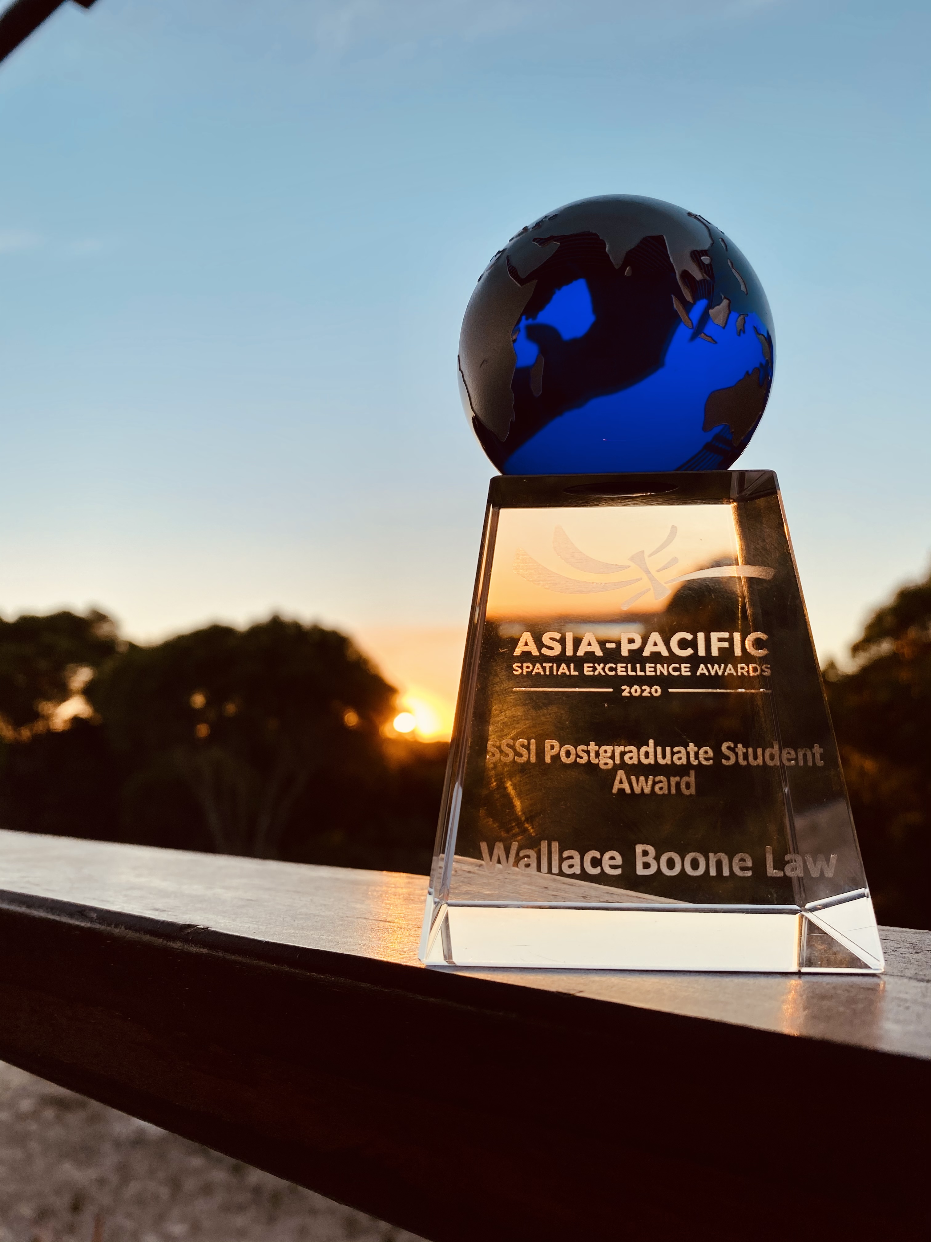
Dr. W. Boone Law, has been internationally recognised as a joint recipient of the Oceanic-region Postgraduate Student Award at the Asia-Pacific Spatial Excellence Awards (APSEA). The APSEA awards are the only professional awards for the Asia-Pacific region that recognise the excellent achievement of individuals and organisations engaged in the surveying and spatial information industry. This […]
Comments Off on Researcher receives Oceanic-Region recognition at the Asia-Pacific Spatial Excellence Awards
University of Adelaide Spatial Scientists Receive Top Awards
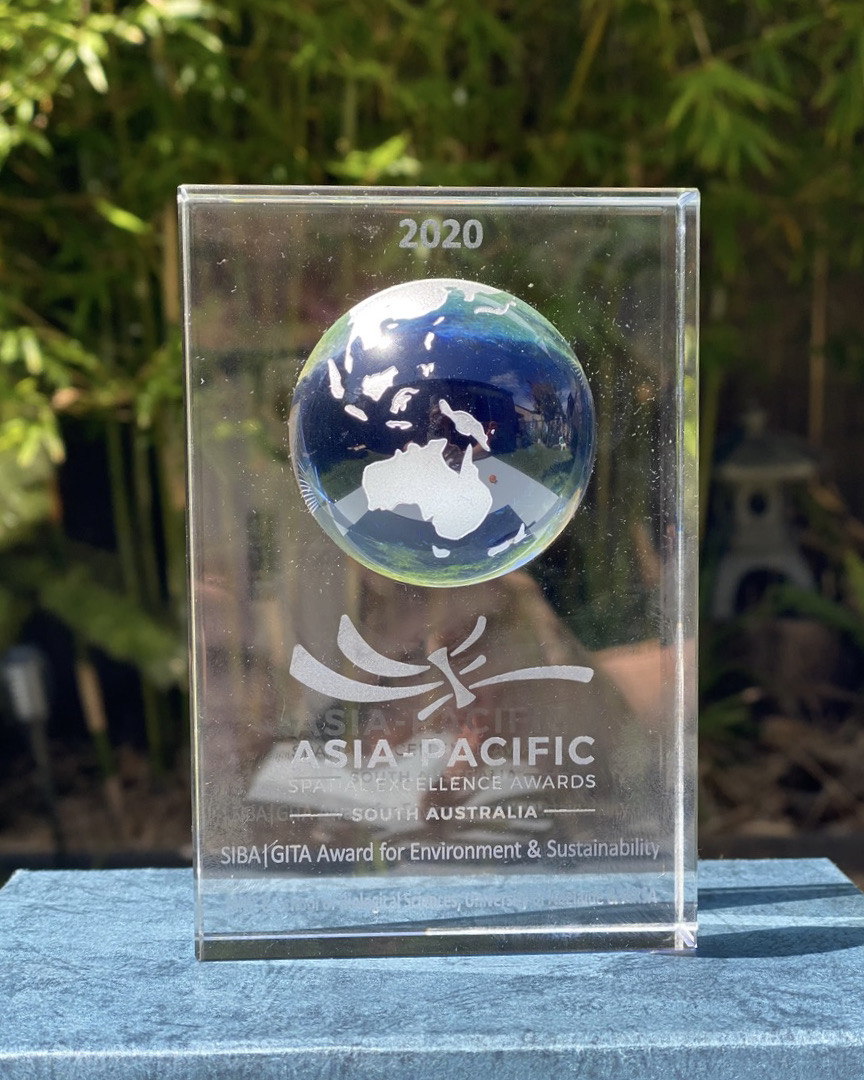
Australia’s peak body representing surveying and spatial science professionals, has recently recognised the work of two University of Adelaide researchers. The Surveying and Spatial Sciences Institute (SSSI) recently awarded Dr. Ken Clarke and Dr. W. Boone Law with top honours at the regional (SA) Asia-Pacific Spatial Excellence Awards (APSEA) ceremony, held at the Adelaide Pavilion […]
Comments Off on University of Adelaide Spatial Scientists Receive Top Awards
Using advanced remote sensing to map ancient Aboriginal ‘tool‐stone’ resources in central Australia
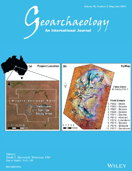
The remote sensing work of University of Adelaide PhD candidate W. Boone Law has recently been selected for the 2020 May/June cover of Geoarcheaology. Geoarchaeology is an international journal dedicated to original interdisciplinary scientific research where geographical, geological, geophysical and Earth science techniques are used to better understand the archaeological record. (Pictured right: The front cover […]
Comments Off on Using advanced remote sensing to map ancient Aboriginal ‘tool‐stone’ resources in central Australia
University of Adelaide researchers raise awareness on the importance of satellite imagery for mapping bushfire impacts
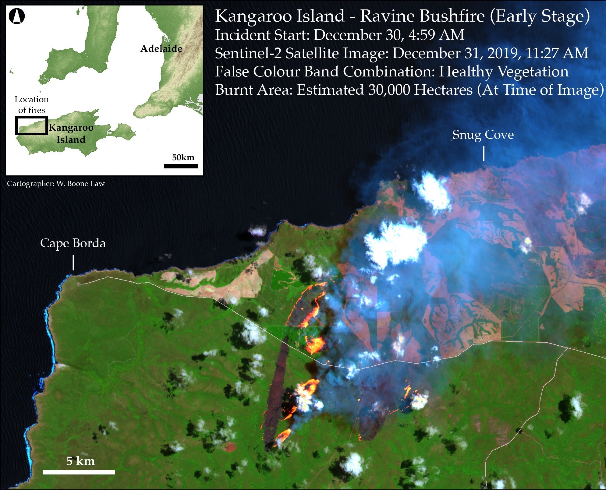
The Conversation features lessons learnt by Boone Law as he mapped bushfire impacted areas on Kangaroo Island. By PhD candidate Wallace Boone Law with contributions from Megan M. Lewis. My recent experience suggests there is a considerable knowledge gap between ‘Big Satellite Data’ and ‘those who need it’. Megan and I share the concern that neither the general public […]
Comments Off on University of Adelaide researchers raise awareness on the importance of satellite imagery for mapping bushfire impacts
Prof Megan Lewis joins Goyder Institute Board
The Goyder Institute has just appointed the Environment Institute’s Professor Megan Lewis as their newest Board member. Prof Lewis has extensive experience in remote sensing, vegetation ecology, and environmental science and management, making her an excellent addition to the Board. The Goyder Institute Board sets the strategic vision for the Goyder Institute. Prof Lewis will be […]
Comments Off on Prof Megan Lewis joins Goyder Institute Board
What do wombats, UAV’s and tiger snake venom have in common? They are the focus of our successful 2016 ARC Linkage grants!
Congratulations to Environment Institute researchers who have had success in todays 2016 ARC Linkage Grant announcement! The details of the three successful projects for the EI are below, with all the successful applicants Australia wide listed on the ARC website. Wombats as a model for evidence based management of native fauna Associate Professor Bertram Ostendorf; […]
Comments Off on What do wombats, UAV’s and tiger snake venom have in common? They are the focus of our successful 2016 ARC Linkage grants!
Case Study: A monitoring technique for the Springs of the Great Artesian Basin
Environment Institute members Davina White and Megan Lewis were recently asked to prepare a case study for Digital Globe. Digital Globe is a leading global provider of commercial high-resolution earth imagery products and services. Both researchers were requested to provide a case study to Digital Globe titled ‘A monitoring technique for the Spring of the […]
Comments Off on Case Study: A monitoring technique for the Springs of the Great Artesian Basin