BLOGS WEBSITE
TAG: W. Boone Law
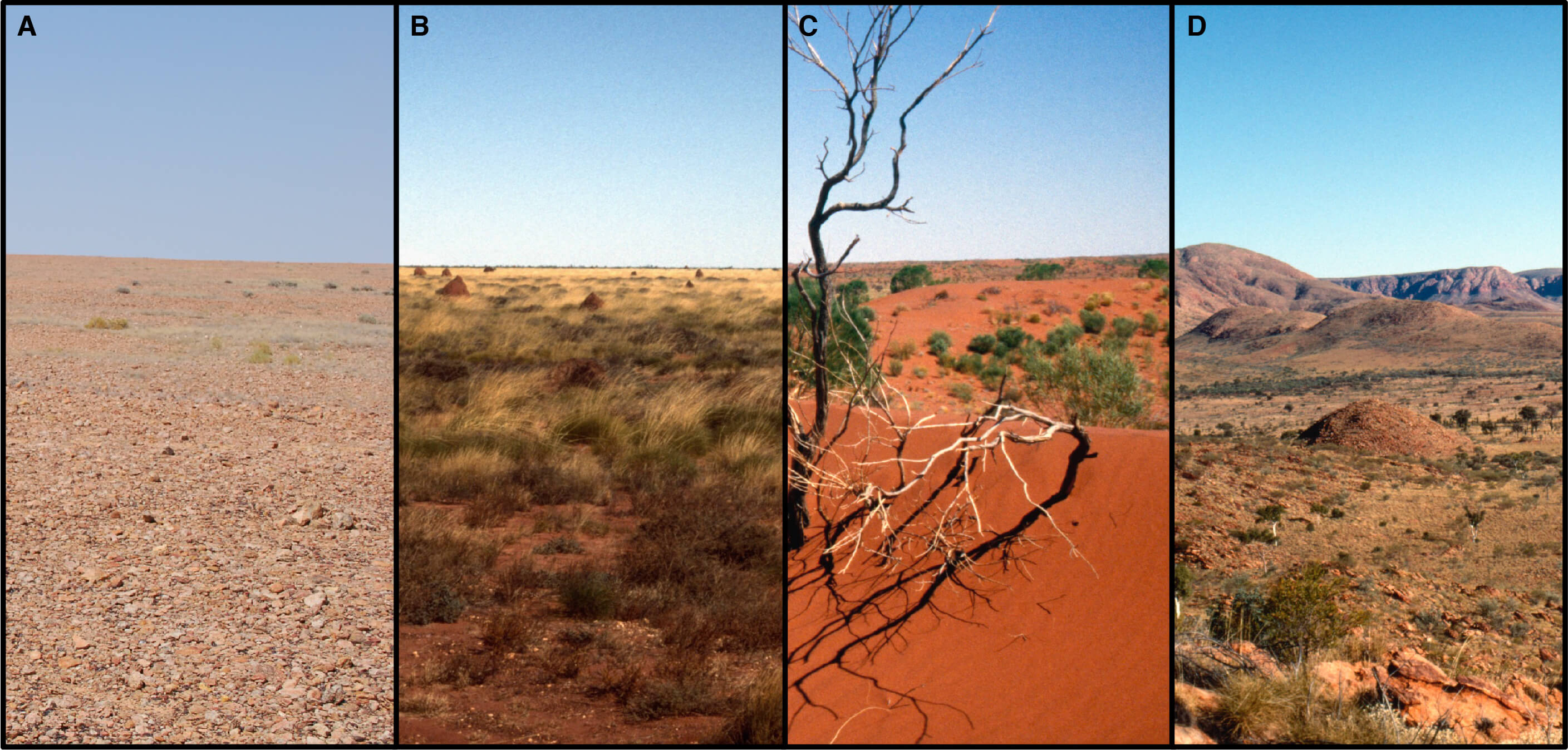
Satellite Imaging Offers New Insights of Western Desert Ecology and Precontact Aboriginal Land Use
The ‘Western Desert’, as it is commonly known, is one of the most arid and geographically remote regions of Australia. It expands across roughly 14.0% of the continent, encapsulating nearly 1.1 million km2 in total. Rainfall, which averages less than 250 mm annually, is seasonally unreliable and ambient temperatures exceed 35°C more than 114 days out […]
Comments Off on Satellite Imaging Offers New Insights of Western Desert Ecology and Precontact Aboriginal Land Use
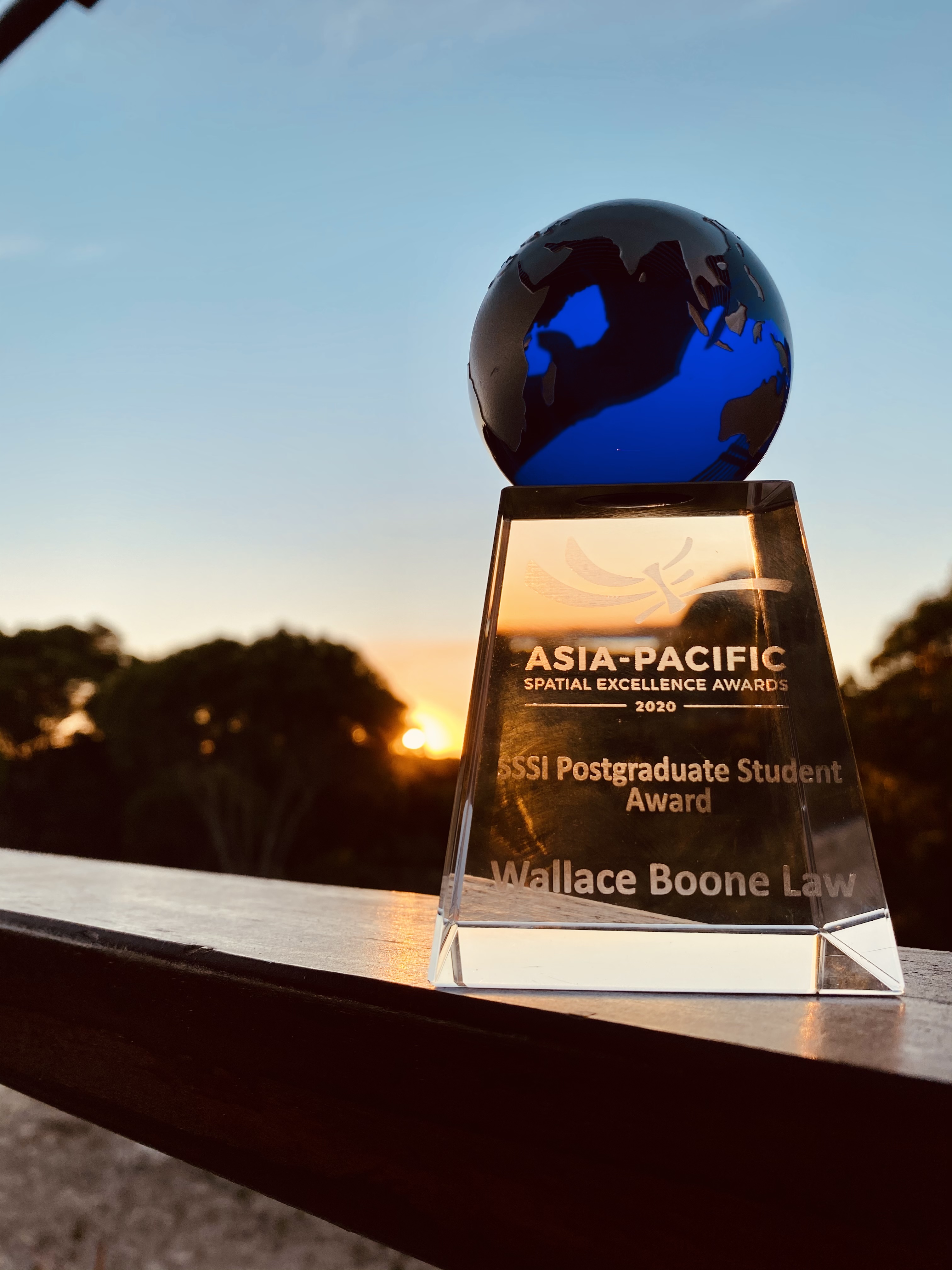
Researcher receives Oceanic-Region recognition at the Asia-Pacific Spatial Excellence Awards
Dr. W. Boone Law, has been internationally recognised as a joint recipient of the Oceanic-region Postgraduate Student Award at the Asia-Pacific Spatial Excellence Awards (APSEA). The APSEA awards are the only professional awards for the Asia-Pacific region that recognise the excellent achievement of individuals and organisations engaged in the surveying and spatial information industry. This […]
Comments Off on Researcher receives Oceanic-Region recognition at the Asia-Pacific Spatial Excellence Awards
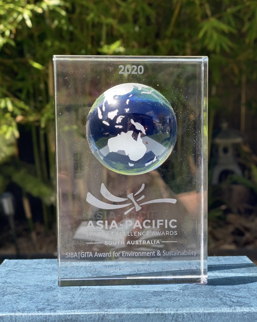
University of Adelaide Spatial Scientists Receive Top Awards
Australia’s peak body representing surveying and spatial science professionals, has recently recognised the work of two University of Adelaide researchers. The Surveying and Spatial Sciences Institute (SSSI) recently awarded Dr. Ken Clarke and Dr. W. Boone Law with top honours at the regional (SA) Asia-Pacific Spatial Excellence Awards (APSEA) ceremony, held at the Adelaide Pavilion […]
Comments Off on University of Adelaide Spatial Scientists Receive Top Awards
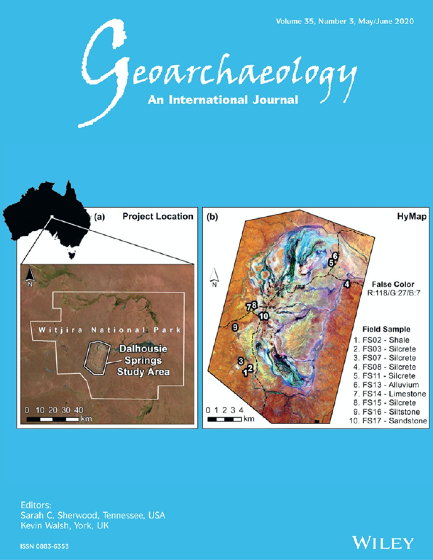
Using advanced remote sensing to map ancient Aboriginal ‘tool‐stone’ resources in central Australia
The remote sensing work of University of Adelaide PhD candidate W. Boone Law has recently been selected for the 2020 May/June cover of Geoarcheaology. Geoarchaeology is an international journal dedicated to original interdisciplinary scientific research where geographical, geological, geophysical and Earth science techniques are used to better understand the archaeological record. (Pictured right: The front cover […]
Comments Off on Using advanced remote sensing to map ancient Aboriginal ‘tool‐stone’ resources in central Australia